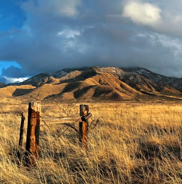
Santa Rita Mountains
On Tucson's far south side, the scenic Santa Rita Mountains are a biodiversity hotspot, providing important habitat for many species of birds, reptiles, amphibians, bees, and plants in Coronado National Forest. In Madera Canyon, a world-famous spot for bird watching, hiking trails vary from paved, handicap-accessible trails and gentle walking paths in the lower canyon, to steep, expert trails leading to the top of 9,453-foot Mt. Wrightson, the highest point in the range and the highest point in the Tucson area.
Trails
Bog Springs Trail
This moderate, 5-mile (round trip) loop trail through an area of bubbling springs, green grasses, big trees, and long-distance views is popular during the cooler months for observing birds and other wildlife.
Old Baldy Trail
This challenging and enormously popular 10-mile trek (round trip) is 4,000 vertical feet, topping out on one of the most spectacular summits in the state.
Cave Creek - Gardner Canyon Loop
This strenuous, long (10-mile round trip) and scenic loop on the eastern slopes of the Santa Rita Mountains combines several legs rarely used and remote trails.
Permits & Maps
Stop by a hiking-camping supply store to purchase a map or hiking guide or to contact local hiking groups and organizations for suggestions. The Summit Hut and Southern Arizona Hiking Club are good places to start.
Hiking permits are required for some areas and can be obtained from Coronado National Forest.


