

-
- Honeybee Canyon North (2.3 miles) – A gentle trail that follows a dry riverbed, this route features scenic views, towering saguaros, and striking rock formations. The highlight: ancient petroglyphs etched into stone at the trail’s end – a glimpse into the region’s past.
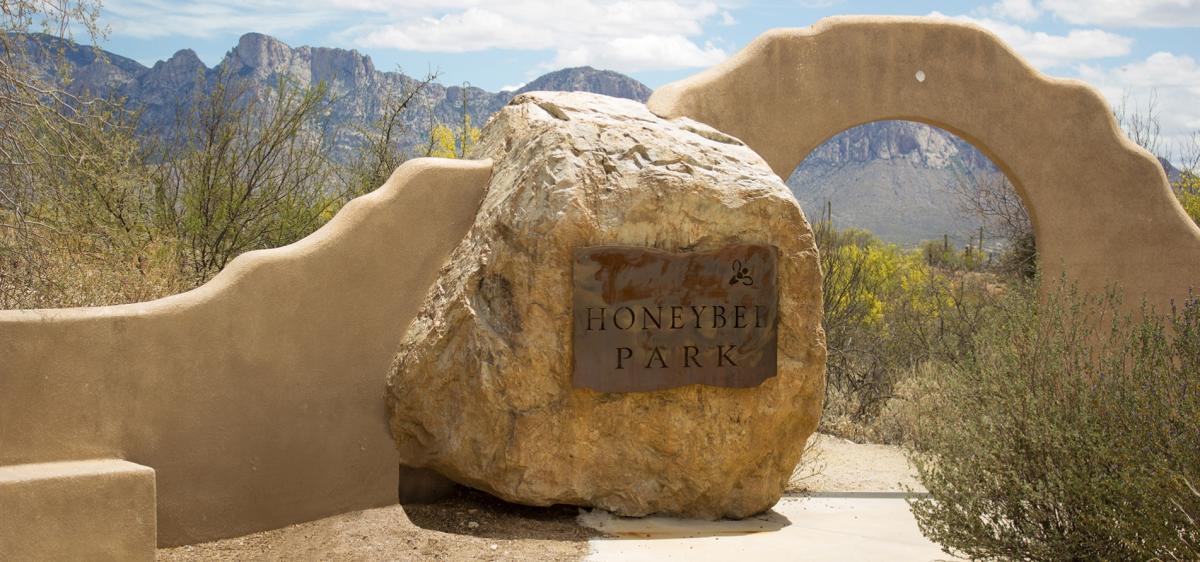
- Honeybee Canyon South Trail (1.2 miles) – This short loop mixes paved and unpaved paths and transitions quickly from open desert to a shaded, rocky canyon. Along the way, pass through a historic stone wall with a doorway – one of the trail's most memorable features.
- Honeybee Canyon North (2.3 miles) – A gentle trail that follows a dry riverbed, this route features scenic views, towering saguaros, and striking rock formations. The highlight: ancient petroglyphs etched into stone at the trail’s end – a glimpse into the region’s past.
-
-

Mountain Biking
Singletrack for days! Whether you're just starting out or a trail-tested vet, Tucson is ready to…

Hiking
Tucson is renowned as a hiker’s paradise, and trekking through its stunning desert landscapes…

Sonoran Desert
When you think about a desert, you might think of a hot, dry, dusty place. That’s not the…

Biking
Find freedom to ride, on or off the road.

Native American Culture
A large part of Tucson’s culture lies within the deep-rooted Native American history. Here in…

A Pro's Guide to Gravel in Tucson, Arizona
- 5 minute read
By Russell Finsterwald Ok, so you’ve made it to Tucson, Arizona. You’ve unpacked your gravel bike and it’s…

Shaped by the Desert: Finding Wellness Outdoors in Tucson
- 4 minute read
In Tucson, adventure rises straight from the desert floor. Ancient saguaros stand guard over rugged canyons, technical trails, and…

