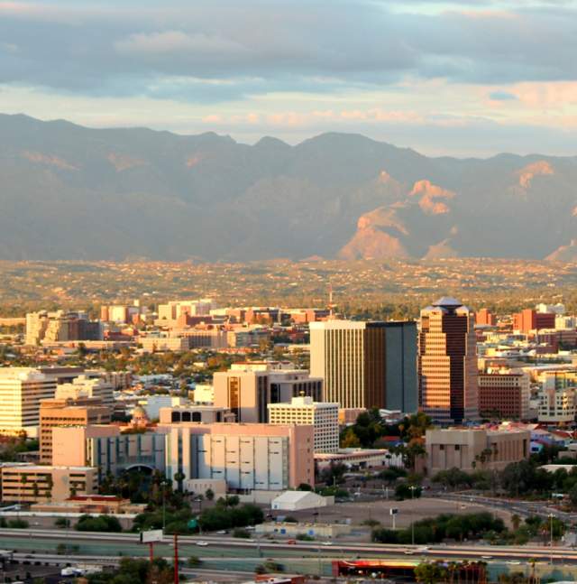
Geography
The city of Tucson is 2,389 feet above sea level and covers nearly 500 square miles. The landscape is varied and includes flowering desert, rolling hills, winding dry riverbeds, rugged canyons, and pine-topped peaks, all beneath a clear, blue sky. Scenery on the 90-minute drive from downtown Tucson to the top of the highest mountain peak in the Santa Catalina Mountains, Mt. Lemmon, is like what you'd see on a trip from Mexico to Canada.
Video: Mount Lemmon Via The Catalina Highway
Sentinel Peak (also called "A" Mountain) is on the western fringe of the downtown historic district. The base of this peak is the site of a major archaeological dig for remnants of Tucson's earliest settlement, about 4,000 years ago.
Tucson's spectacular skyline features our five mountain ranges, all of which contain fantastic hiking and mountain biking for all experience levels. Tucson is also a Gateway Community to the 800-mile Arizona Trail.
• The sun rises over the Rincon Mountains on the east side
• Our legendary sunsets silhouette the Tucson Mountains on the west
• Flanking the north and northeast are the prominent Santa Catalina Mountains
• Rising to the south and southeast are the Santa Rita Mountains
• The Tortolita Mountains shelter the northwest
Arizona is in the Southwest area of the United States between California and New Mexico. Tucson is an hour drive from the Mexico border and less than two hours from Phoenix.
You Might Also Like
Research & Facts
The Hub of Southern Arizona Welcome to Tucson: the largest city in Southern Arizona…
Tucson History - Itinerary
Presidio District Entrance to the Old Town Artisan's courtyard El Presidio Historic…
Casino Del Sol Resort
Come see for yourself why Casino Del Sol is a multiple Forbes Four Star Award winner…


